|
|
|
Advertisements:
Administrative divisions (5,890 GPS Maps)
Comments
Add a new comment: |
Advertisement
Members area
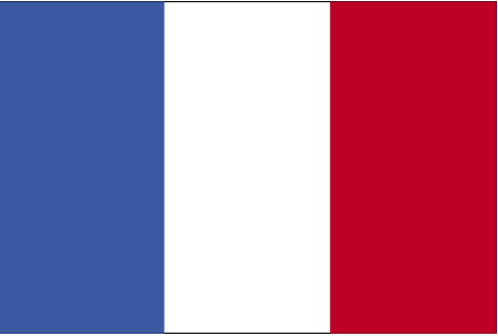
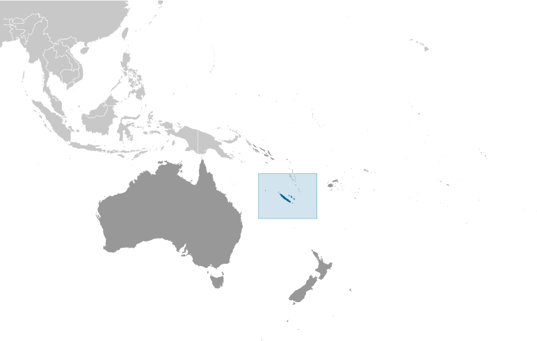
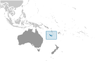
New Caledonia [ France ] (Overseas Territory):
GPS points from New Caledonia [ France ] (Overseas Territory)
|
||||||||
|
|
|
Advertisements:
Administrative divisions (5,890 GPS Maps)
Comments
Add a new comment: |
Advertisement
Members area
New Caledonia [ France ] (Overseas Territory):
GPS points from New Caledonia [ France ] (Overseas Territory)
|
||||||||

 Settled by both Britain and France during the first half of the 19th century, the island was made a French possession in 1853. It served as a penal colony for four decades after 1864. Agitation for independence during the 1980s and early 1990s ended in the 1998 Noumea Accord, which over a period of 15 to 20 years will transfer an increasing amount of governing responsibility from France to New Caledonia. The agreement also commits France to conduct a referendum between 2014 and 2018 to decide whether New Caledonia should assume full sovereignty and independence.